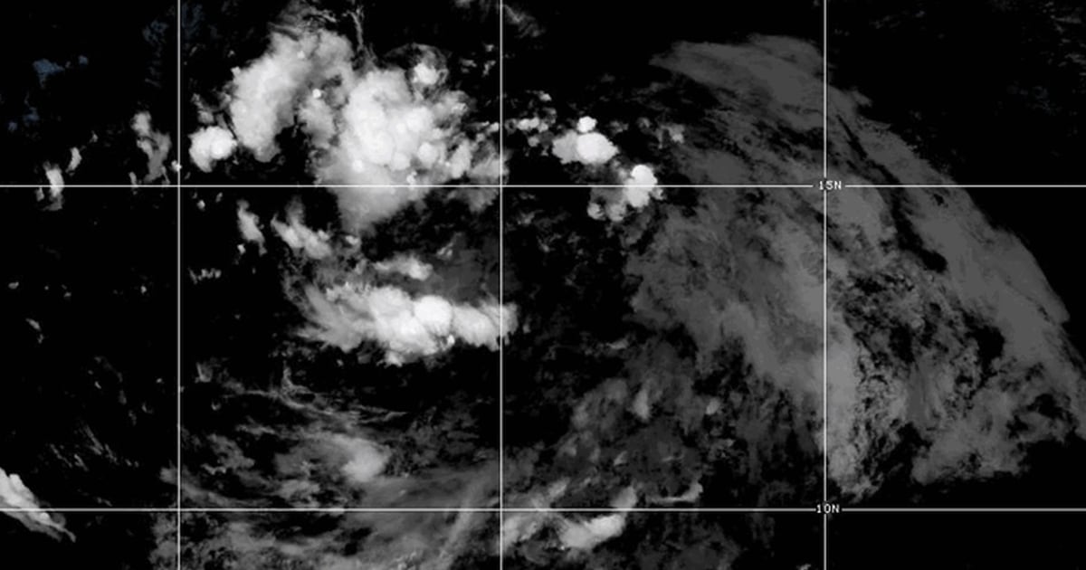
Even as parts of the East Coast are still recovering from destruction wrought by the remnants of Hurricane Debby, the next Atlantic front is developing into a potential tropical storm.
Potential Tropical Cyclone Five was taking shape 875 miles east-southeast of Antigua and was headed west-northwest at 23 mph, with multiple Caribbean islands, including the U.S. Virgin Islands, in its potential sights, according to the National Hurricane Center’s latest “probable path” forecast.
The potential cyclone was gaining strength rapidly enough that the center said it would most likely be a named tropical storm by the end of Monday. If so, the name Ernesto is in line for the next Atlantic storm.
If it eventually gains enough strength — it would take 74 mph or greater sustained winds — it would be the third hurricane of the season. So far, the National Hurricane Center has not said the front was headed for hurricane status.
The potential cyclone was producing maximum sustained winds of 30 mph Sunday night. It would take maximum sustained winds of 39 mph to graduate to tropical storm status. It would be the fifth named storm of the Atlantic hurricane season so far, as indicated by its temporary name.
The potential cyclone has inspired a 48-hour U.S. tropical storm watch, which in this case warns of possible damaging winds, high surf and potential flooding of up to 6 inches of rain for the following Caribbean islands: Guadeloupe, St. Kitts, Nevis, Montserrat, Antigua, Barbuda, Anguilla, Saba, St. Eustatius, St. Martin and Sint Maarten.
The front is projected to reach those islands by early Tuesday afternoon, according to hurricane center information.
In addition, the center is warning the populations of the Leeward Islands, the British and U.S. Virgin Islands, and Puerto Rico — all to the west of those Caribbean islands under the tropical storm watch — to monitor the front, which could strike them early Wednesday.
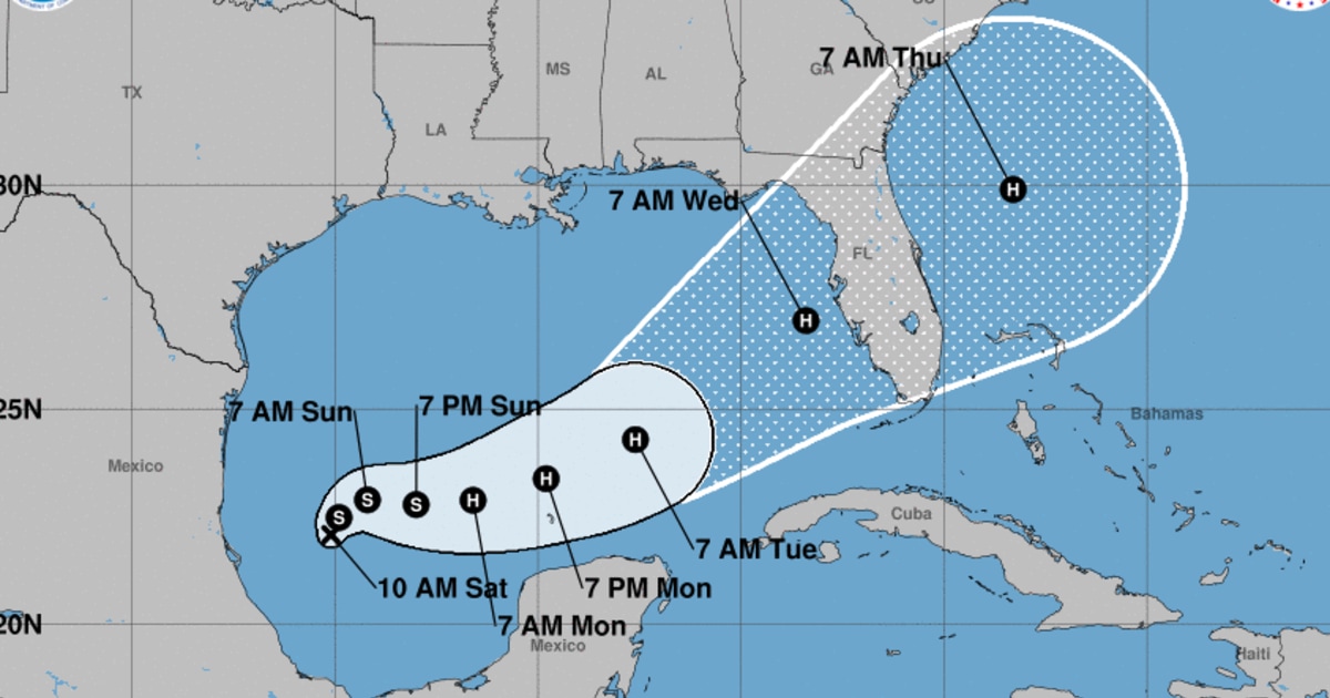
Its federal forecast track takes the front into the Caribbean region but then has it turning directly northward into the Atlantic, keeping it off the coast of the mainland U.S. for now.
The potential cyclone’s formation appears to be consistent with the National Oceanographic and Atmospheric Administration’s latest outlook for the Atlantic hurricane season, which concludes there’s a 90% chance of an above-normal number of storms by the time it concludes in November.
Colorado State University’s hurricane forecast is in agreement. It says near-record warmth in the tropical Atlantic is providing ample fuel for storm development.
“Extremely warm sea surface temperatures provide a much more conducive dynamic and thermodynamic environment for hurricane formation and intensification,” the institution said in its latest forecast paper, published Sunday.
Read the full article here


