Tropical Storm Milton rapidly intensified into a Category 1 hurricane Sunday with its path aimed at Florida, less than two weeks after Hurricane Helene made landfall in the state.
The hurricane is expected to make landfall Wednesday afternoon, federal forecasters said.
The storm debuted as a hurricane Monday afternoon after producing sustained winds of 80 mph and continued to strengthen by drawing fuel from the Gulf of Mexico’s sultry waters.
Forecasters said Milton was likely to reach major hurricane status, denoting a Category 3, 4, or 5 storm Monday. It would take a minimum of sustained 111 mph winds to make the storm a Category 3.
Gov. Ron DeSantis said in a news briefing Sunday that Milton is expected to make landfall in Hillsborough or Pinellas counties Wednesday evening.
As of 2 p.m. ET Sunday, Milton was about 290 miles west-northwest of Progreso, Mexico, and 815 miles west-southwest of Tampa. It was pushing out maximum sustained winds estimated to be 80 mph, with some higher gusts, the hurricane center said, and moving east at 6 mph.
“On the forecast track, Milton is forecast to move north of the Yucatán Peninsula and to move across the Gulf of Mexico and approach the west coast of the Florida Peninsula by midweek,” the hurricane center said.
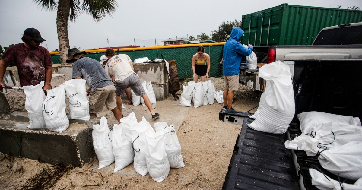
The tropical storm’s expansion to hurricane status Sunday meant that watches and warnings on rain, wind and storm surges were in effect for much of the west coast of Florida less than two weeks after Helene rampaged through the Southeast.
Rain from outer bands of the storm could begin for Florida’s west coast on Sunday, federal forecasters said, with heavier rain likely to move in Tuesday and Wednesday. Five to 8 inches of rain, with up to a foot in some areas, is expected across parts of the Florida Peninsula and parts of the Florida Keys through Wednesday night, and with it the possibility of flash flooding and up to moderate river flooding.
The system may produce rainfall of 2 to 4 inches across portions of the northern Yucatán Peninsula and western Cuba as well.
The hurricane center is warning those in these areas, as well as in the Florida Peninsula, the Florida Keys and the Bahamas, to closely monitor this system for any potential impacts.
Since 1850, only two storms that originated in the Gulf’s Bay of Campeche have struck Florida. If Milton follows its current path, it would be the third.
It’s been 10 days since Helene made landfall Sept. 26 along Florida’s Big Bend coast after sweeping north through the Gulf, causing a dozen deaths in Pinellas County, and damaging or destroying homes and businesses along the Tampa Bay area peninsula.
Read the full article here


